The History of the Hieroglyphics Trail
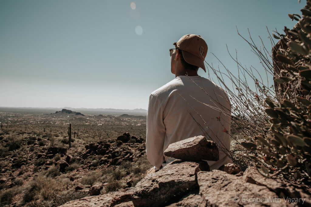
Photo Credit, Preston Wimbish
By Lauren Wong
The Trail:
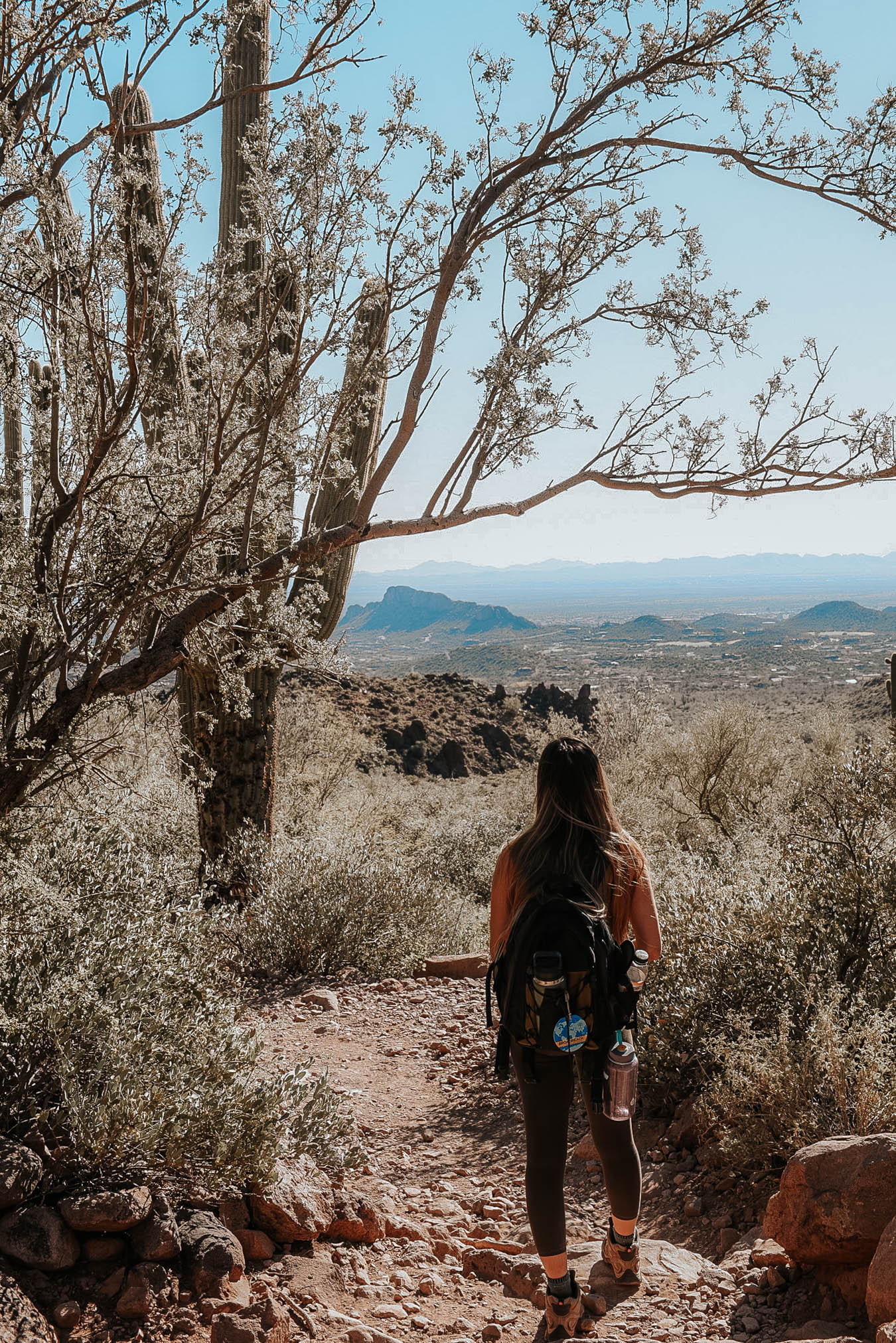
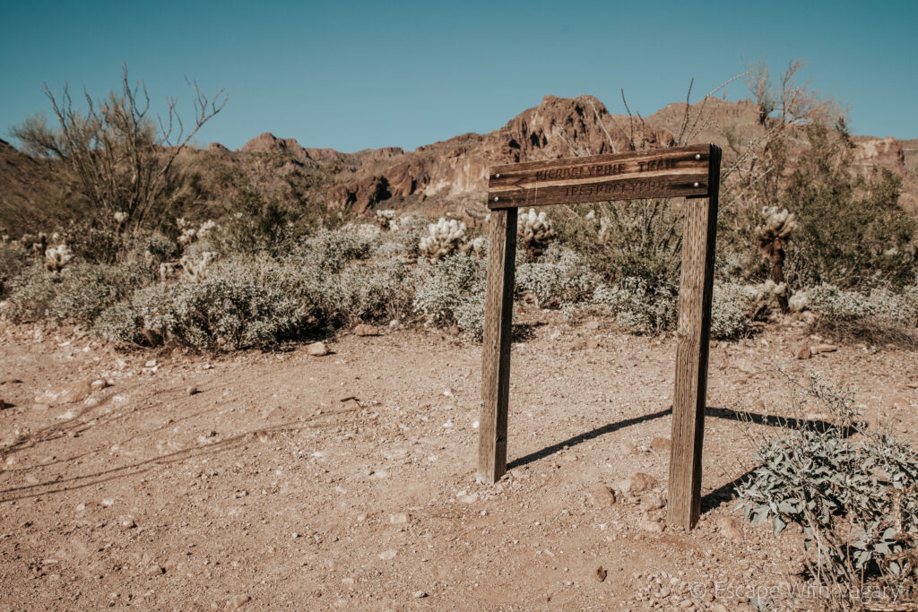
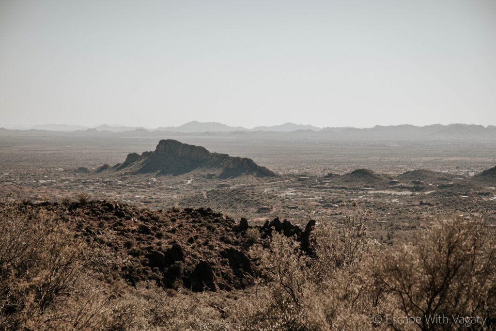
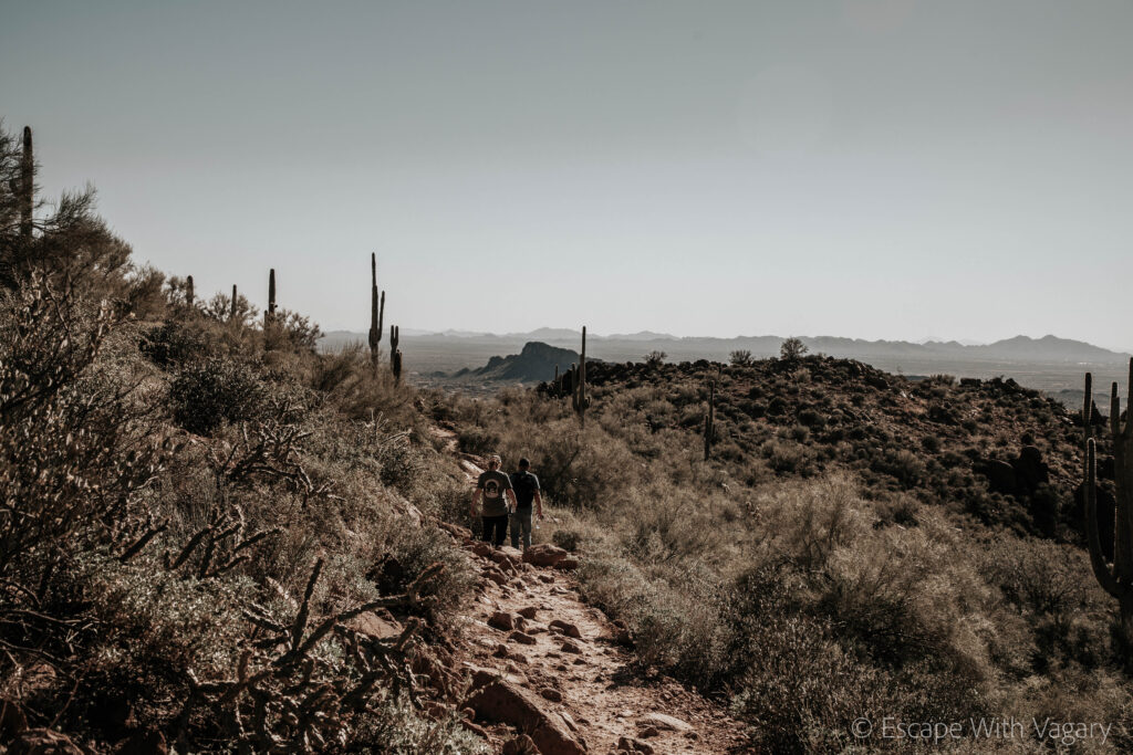
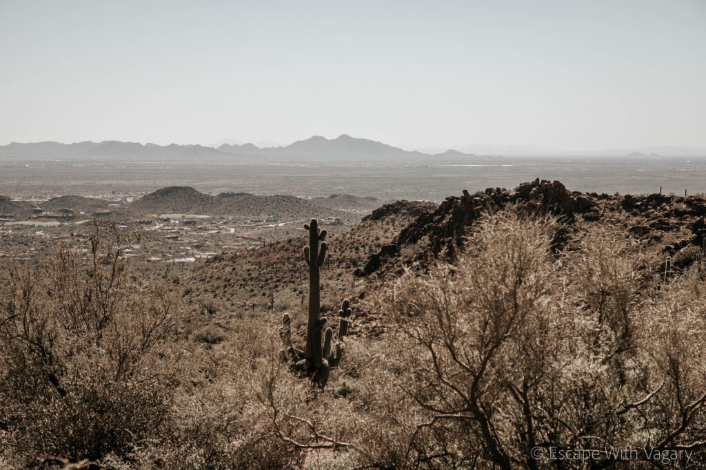
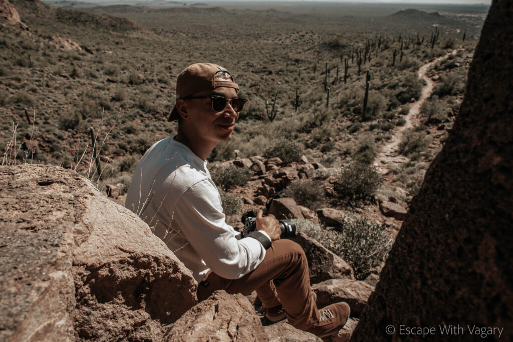
This moderately challenging 2.8 mile out and back hike is a walk back in history. Throughout the course you’ll climb up a bit less than 600 feet in elevation to get to this valley of hieroglyphics. These are believed to date back to the Hohokam Indians that occupied this area 1,500 years ago.
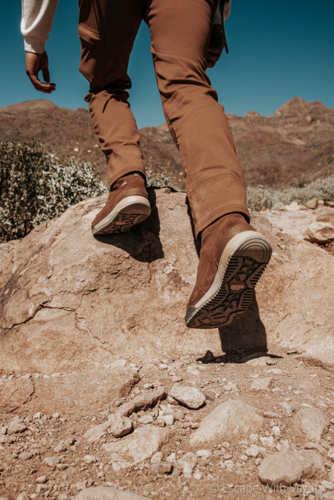
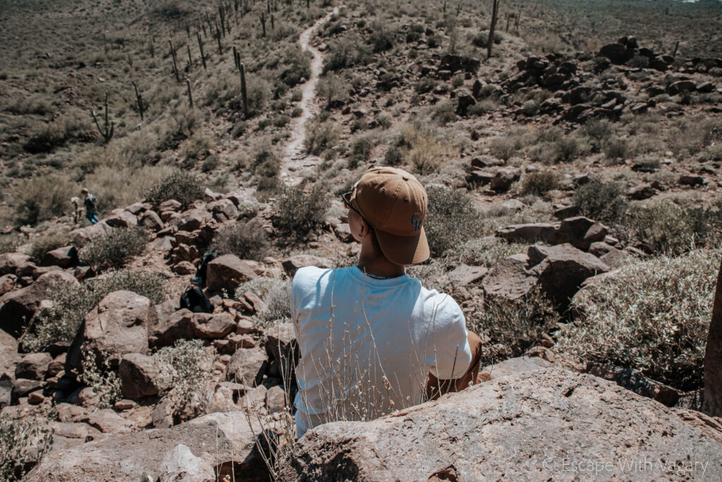
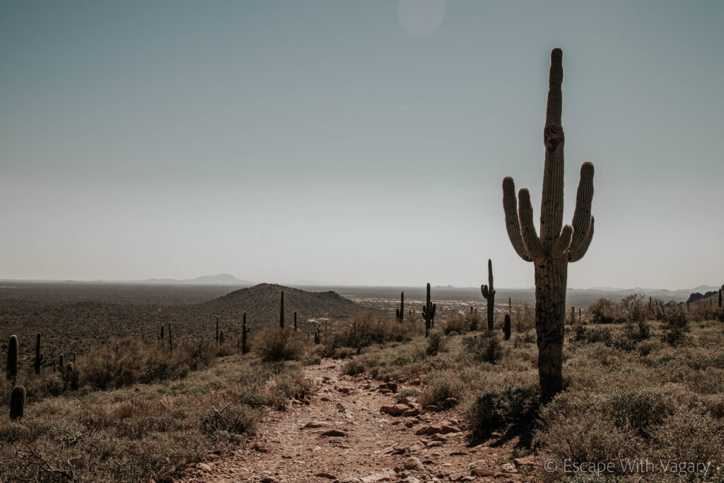
The trail there is very rocky, so I would definitely recommend wearing hiking boots. During the spring the trail will be sprinkled with color from the growing wildflowers.
It gets pretty busy and the parking lot is small so definitely keep that in mind when planning your trip. Do not park on the street because they will tow you!
Photo Credit, Preston Wimbish
Some History on the Hohokam Indians:
From 500-1450 AD, the Hohokam People civilization flourished in central and southern Arizona. In native dialect, their name translates to “those who have gone, or, all used up.” During their time in this area they mastered building canals, creating what we’ve come to find as the largest gravity-fed irrigation systems to be built during the prehistoric New World. Their community took advantage of the Gila, Salt, and Verde river basins, to create this water supply and irrigation system.
Digging by hand with the simple tools they made, they not only managed to maximize water flow, but they also ended up creating hundreds of miles of canals. They used this for their food; corn, squash, and beans, as well as for cotton.
There isn’t a definite answer on why the Hohokam vanished from archeological records around 1500 AD, they think possibly it could have been the result of a drought or maybe a war.
The Hieroglyphics:
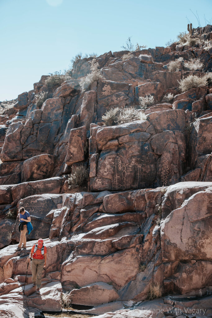
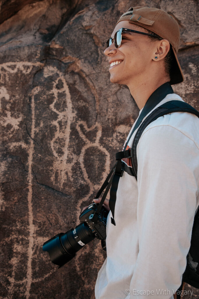
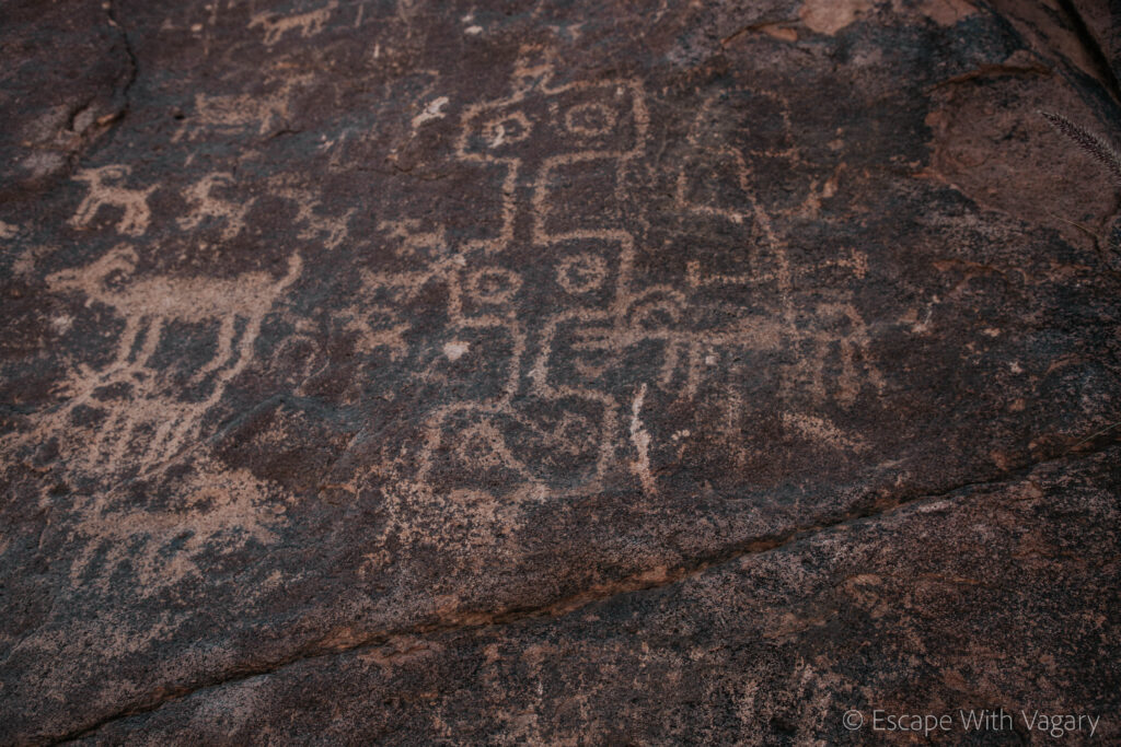
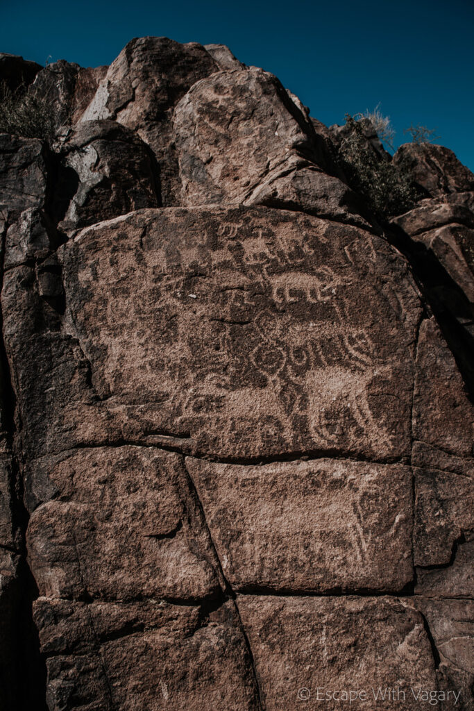
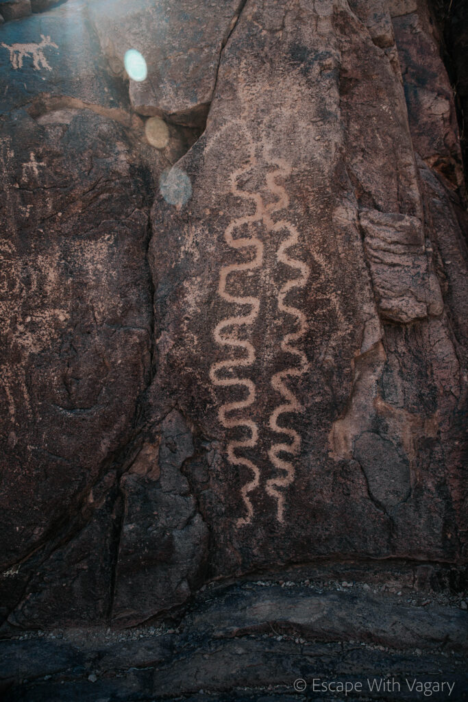
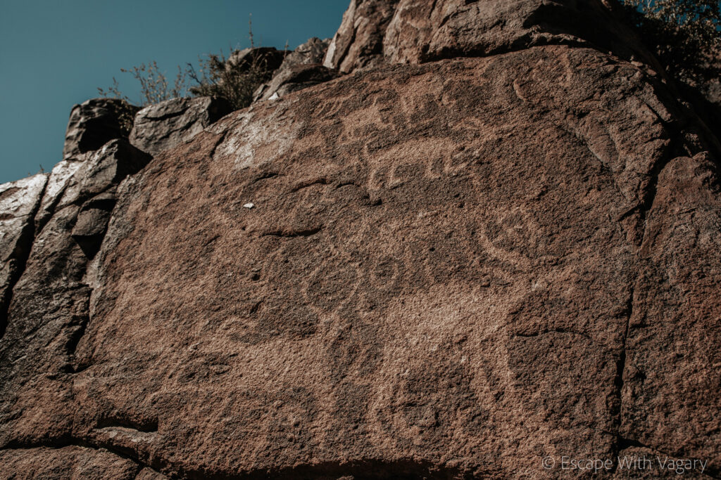
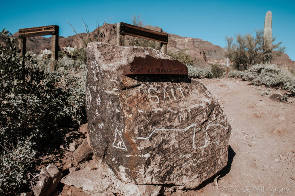
The final destination of this hike is the valley full of rock art. Hieroglyphics are symbols/pictures that are used to represent words, syllables, or sounds. It’s truly amazing how well preserved this area is today, that we can just take a short hike up into the Superstition Mountains and find these symbols still etched out into the rock faces.
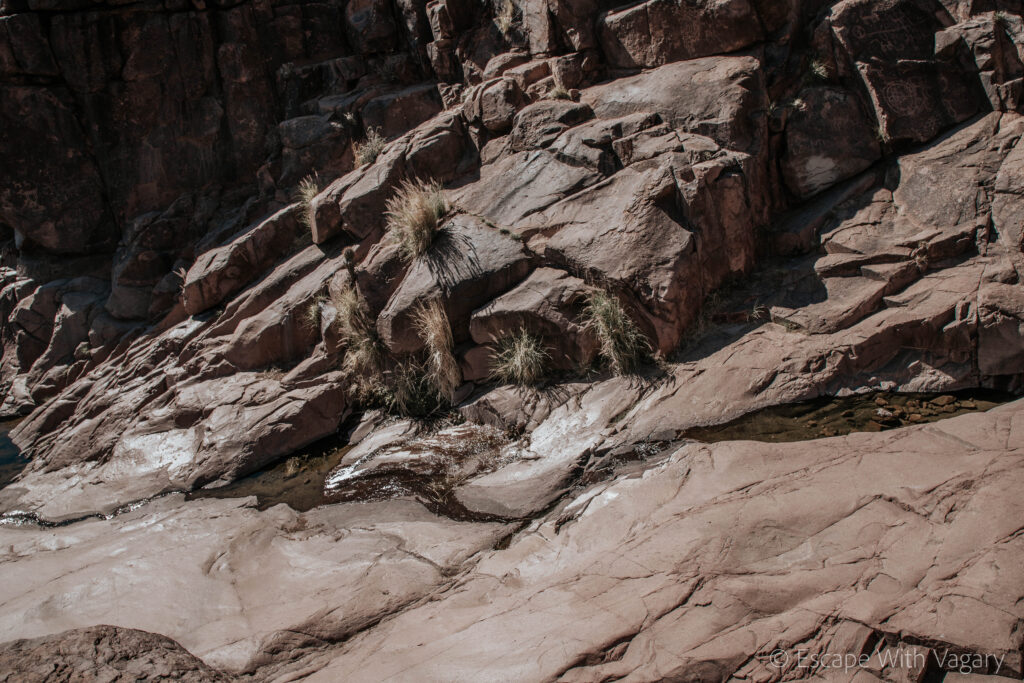
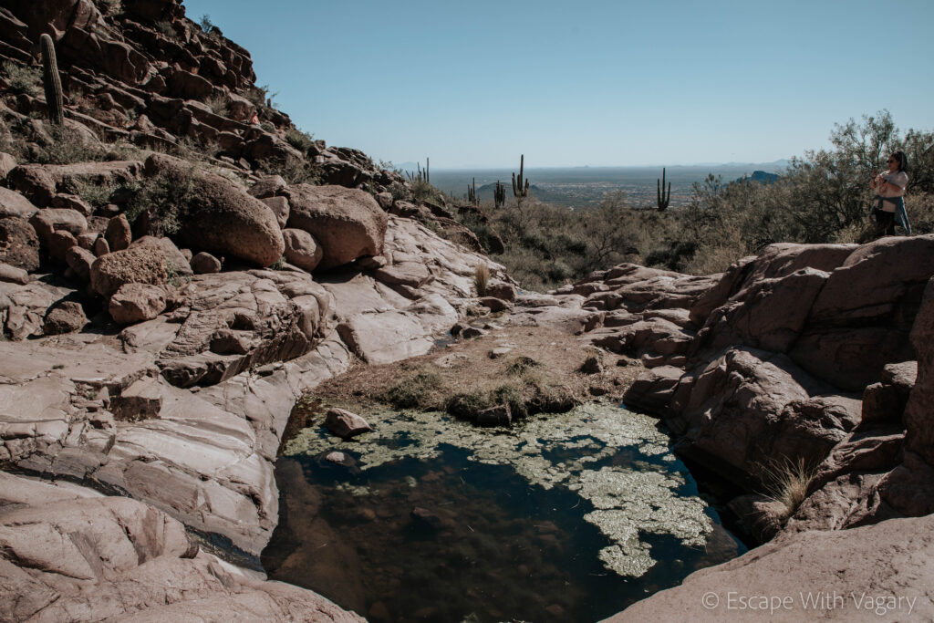
It’s hard to say if we will ever truly be able to guess what the meaning is behind all these drawings, but it’s fascinating to be able to climb up on the rocks, uncovering new drawings around every turn. It adds to the mystery, allowing us to interpret the symbols as we go. This boulder canyon is filled year round, creating this beautiful view of sparkling blue water contrasting against the desert terrain. However, with that comes a ton of mosquitos, so be prepared to be swatting around your face while you explore the rock walls.
You can climb up the rock faces to see more of the art, but you have to be sure to watch your footing because it can get pretty steep and slippery. While exploring I wasn’t being as careful as I should have been, and I ended up taking one of the rocks down as a slide back to the bottom.
Before you enter the valley, apparently, if you look hard enough you can find a large flat rock with these bowl-type shapes carved into it. I didn’t see it, but it’s believed to be a result of the Native Americans using the rock to grind their grains.
If you haven’t been to this trailhead yet I would 100% recommend adding it to your list of places to hit, especially if you’re a history lover!
