Your Guide to Valley of Fire State Park
By Lauren Wong
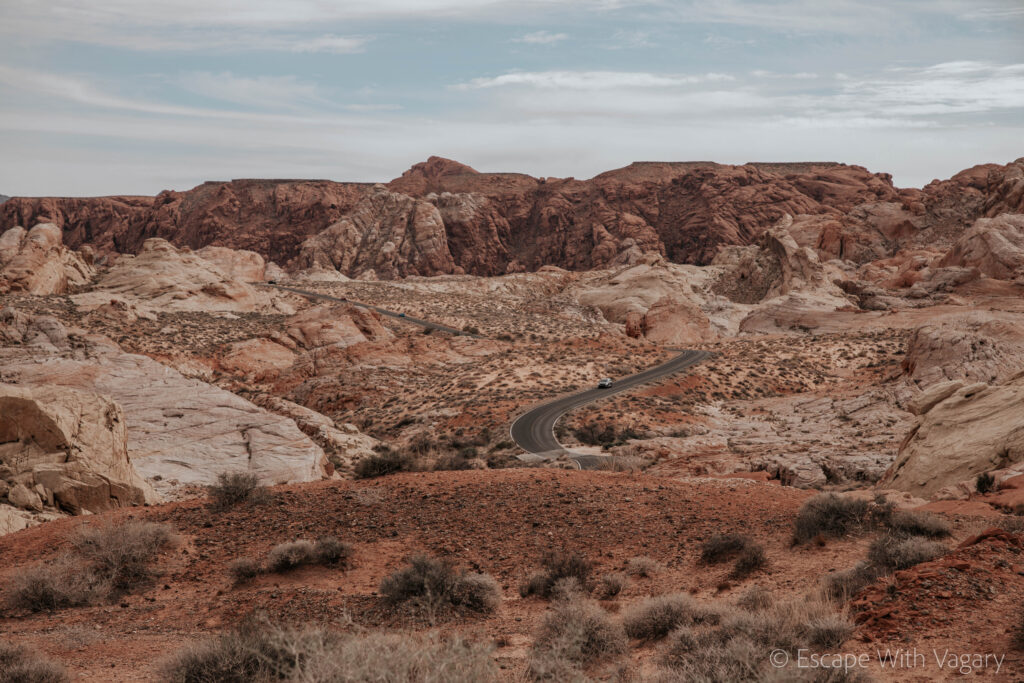
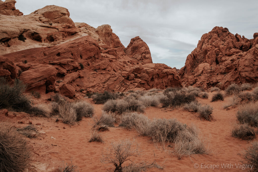
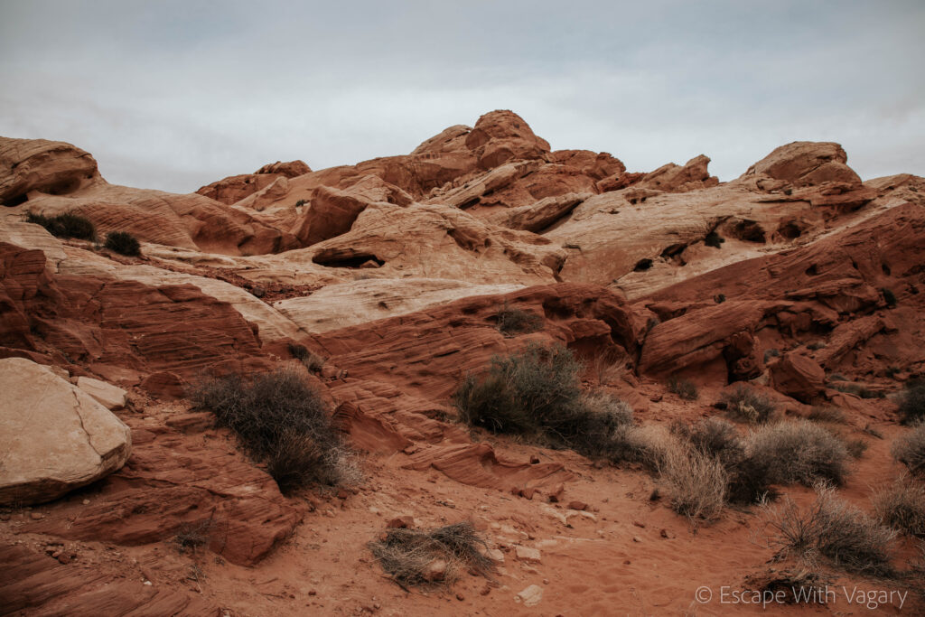
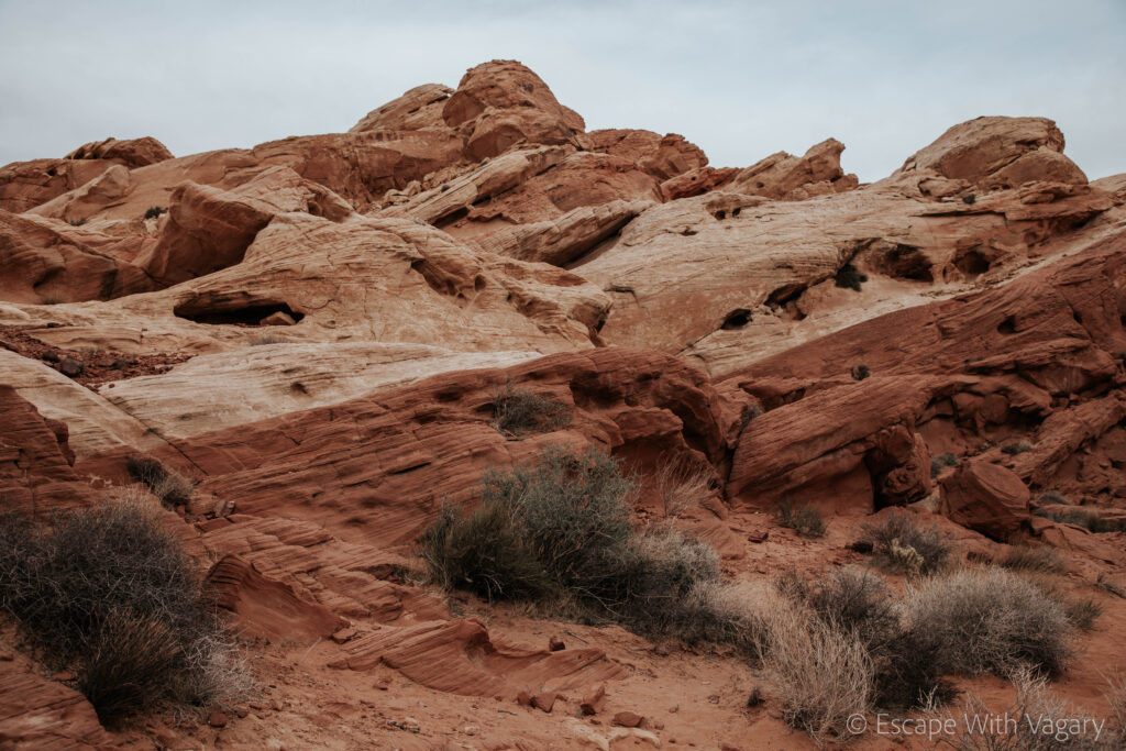
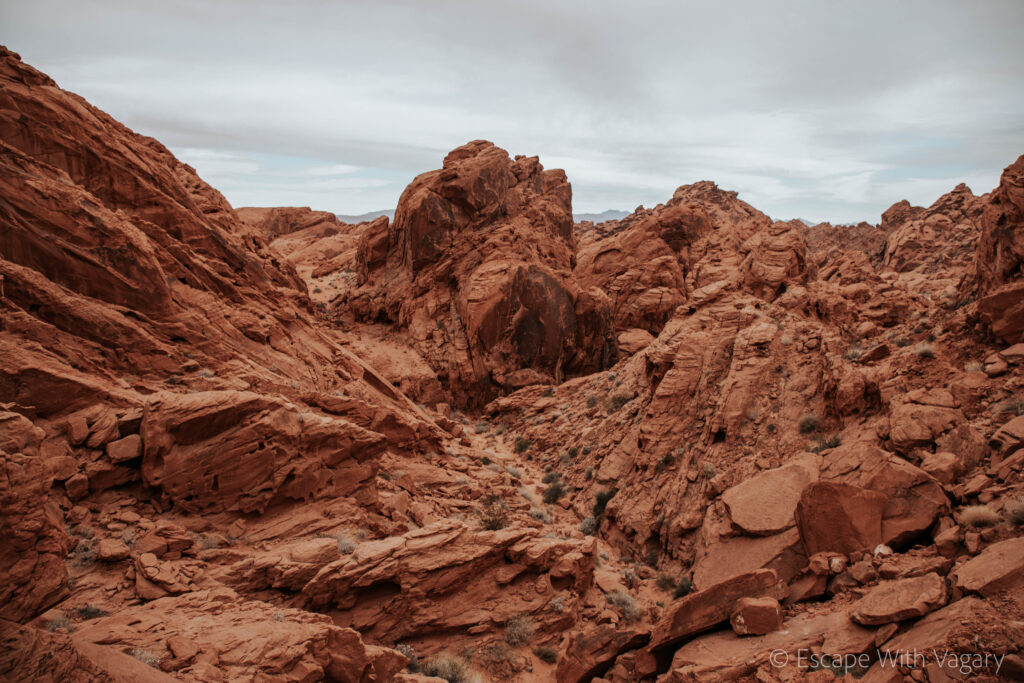
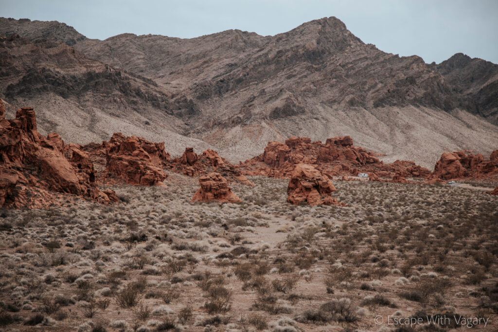
It always amazes me how most of the time when I bring up Valley of Fire State Park I get the same reaction, “where is it? What’s that?” Well, in my opinion, one of the most breathtaking, underrated parks in the U.S. It’s so hard to find the right words to describe it, it truly feels otherworldly, like you’ve been dropped off on another planet the second you enter the park.
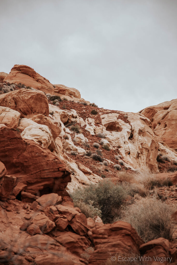
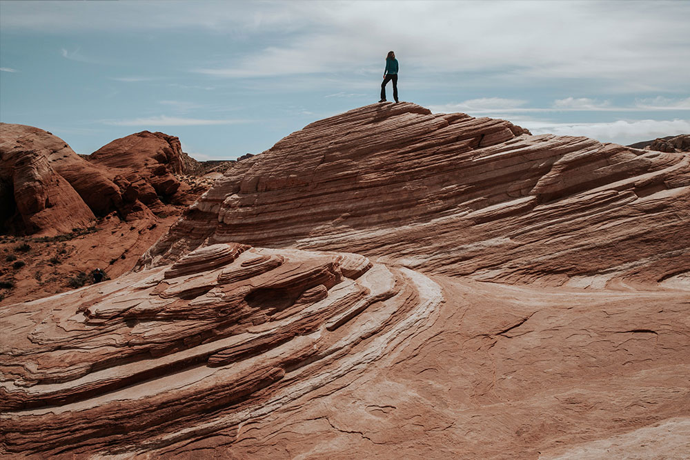
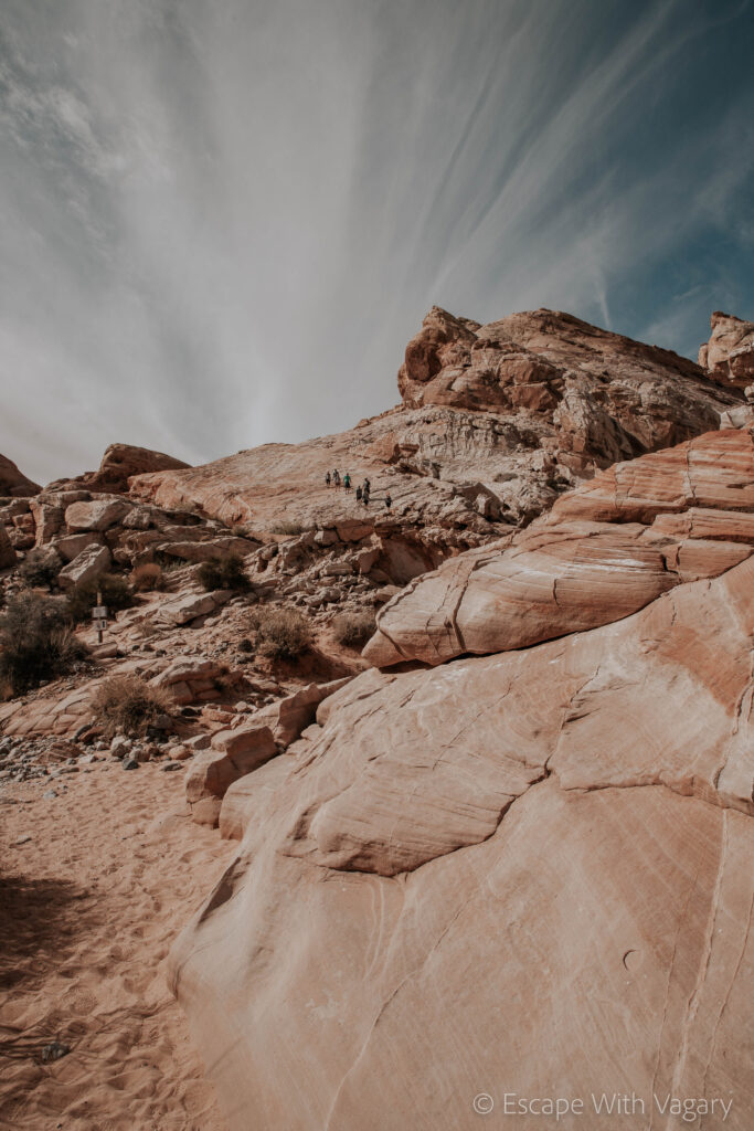
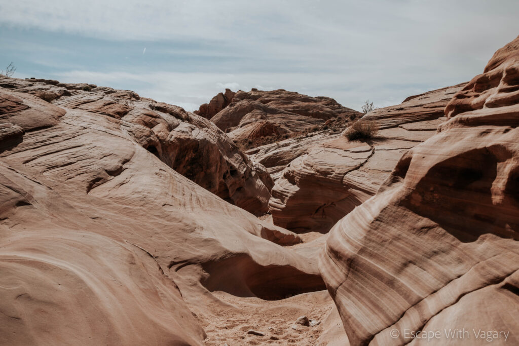
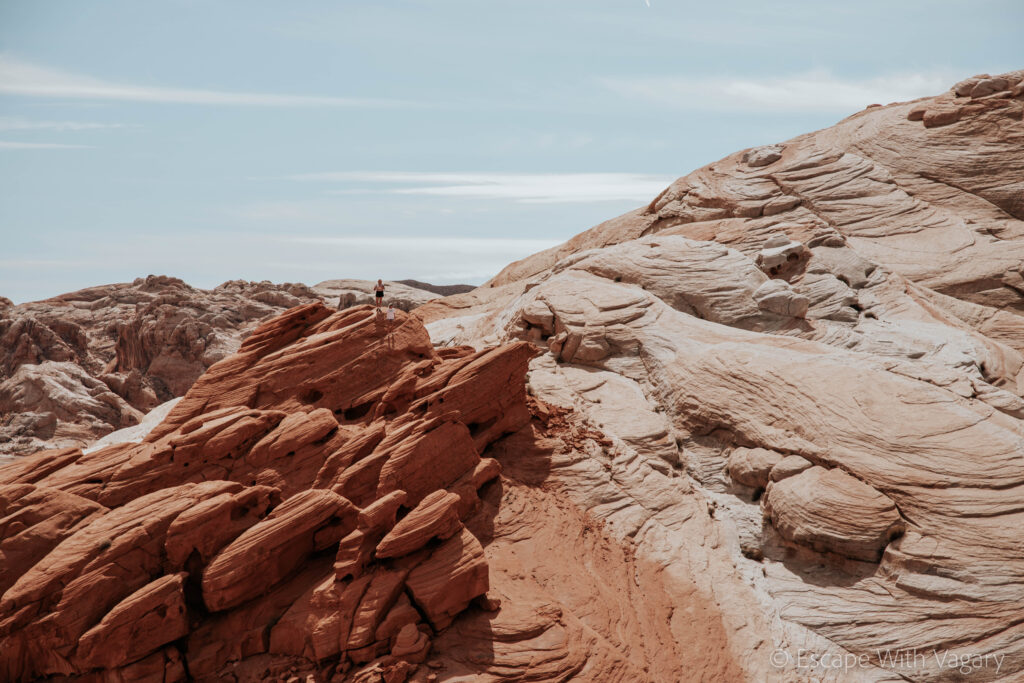
There’s pastel pink slot canyons, a fire wave with bright shades of oranges and white, violet canyons, white sand turning to bright, golden red, and rocks with rigid lines cutting from one color to a completely different one in a matter of one, tiny, defined line. Years and years of history have ingrained themselves into these rock formations, leaving us with the utmost, breathtaking, scenery. They say a picture holds a thousand words, but even pictures can’t do this place justice.
Some History:
In the 1930s, Valley of Fire became known as Nevada’s largest and first state park, covering over 40,000 acres. Over 150 million years ago when the dinosaurs inhabited the land, the park was once just sand dunes. In fact, long ago, this land was covered by water. As time went on from AD 500 – 1150, Ancestral Puebloans lived and worked in the area. You can find their petroglyphs still engraved in the rock walls today.
If you’re interested in learning more about the history of the park, check out their website.
A Full Day in the Park:
We drove in from the East Entrance (Lake Mead Entrance) where we paid our $15 entry fee ($10 for Nevada residents). After getting our free map from the Visitors Center and checking out the Balancing Rock that’s right near it, we mapped out our day, figuring out the best way to hit all of the spots/hikes we wanted to.
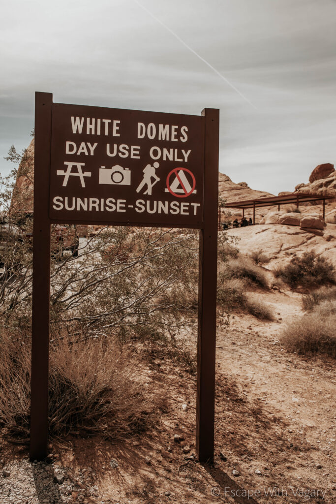
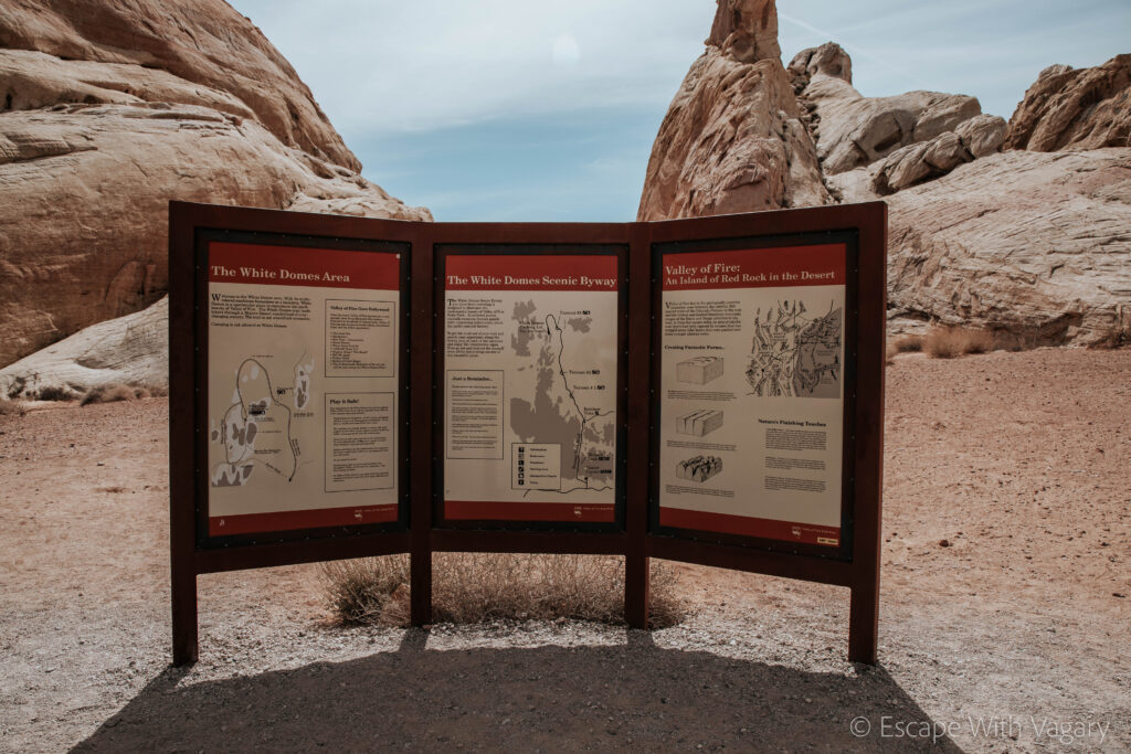
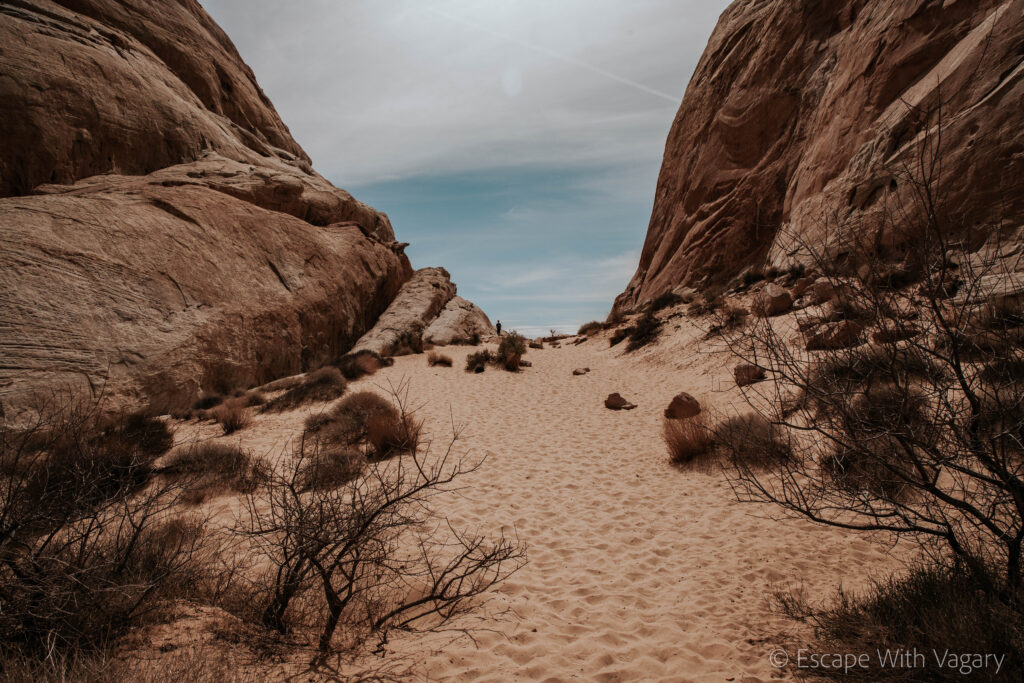
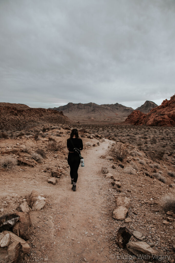
We took White Domes Road all the way down to our first hike of the day, the White Domes Loop. It’s a 1.1 mile loop that takes you through a slot canyon and the standing remains of an old movie set. Personally, when I go hiking, it’s a way for me to escape, to get out and away from people, and be fully surrounded by nature. That being said, trails that are less populated tend to be my favorite. This trail wasn’t too heavily populated.
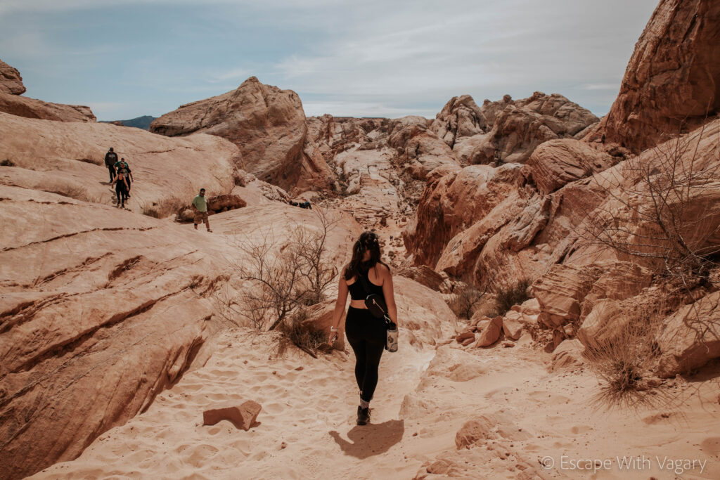
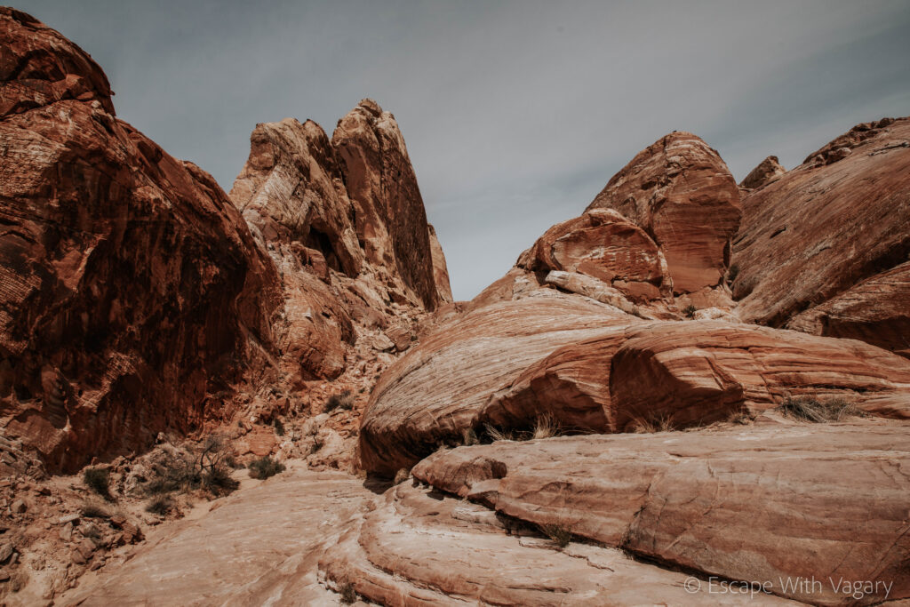
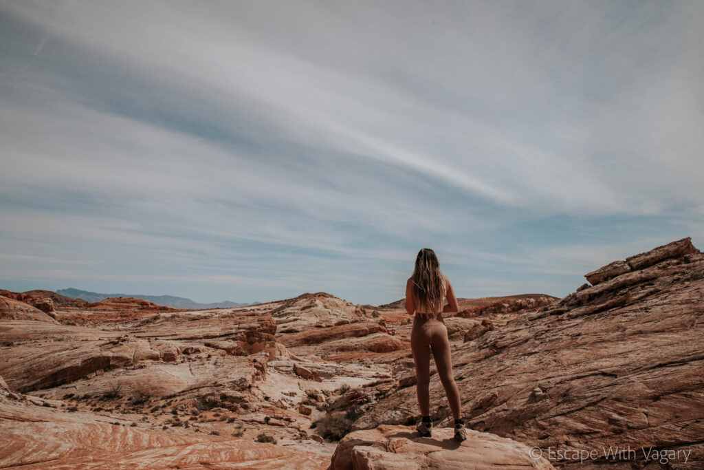
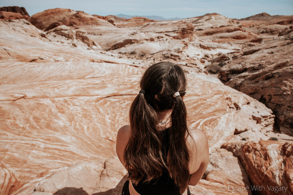
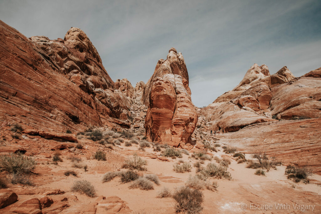

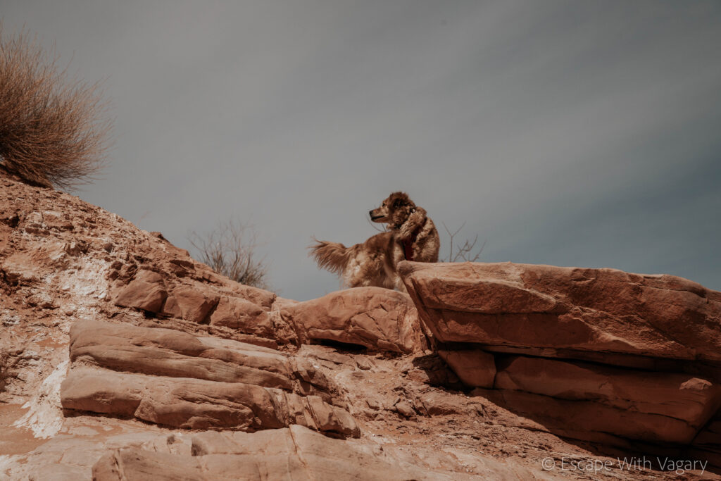
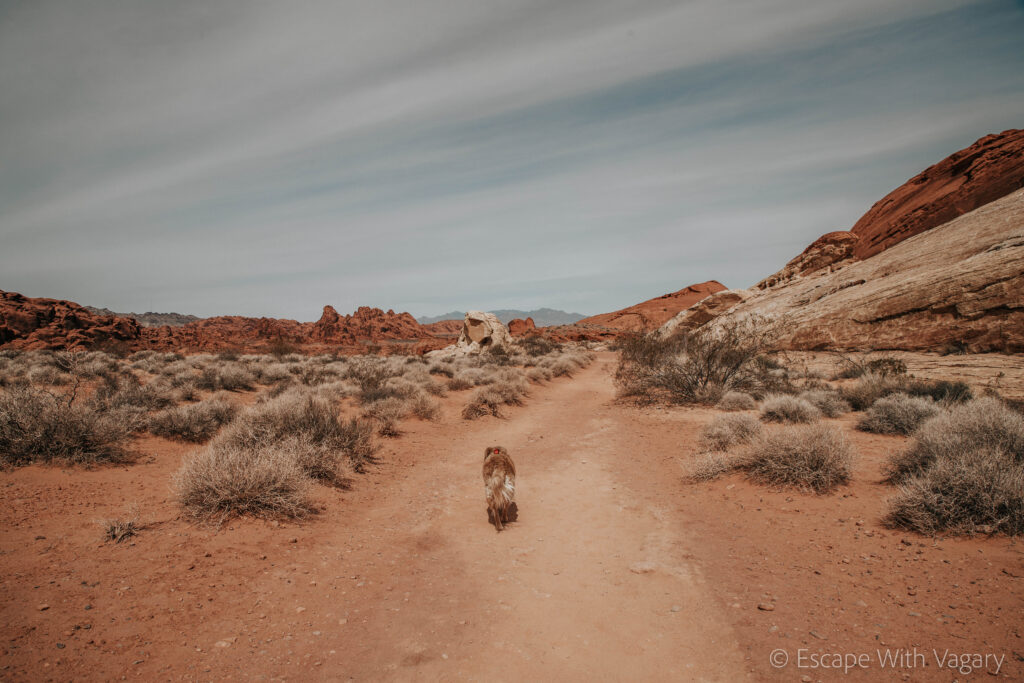
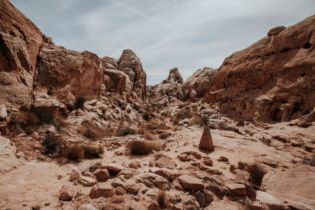
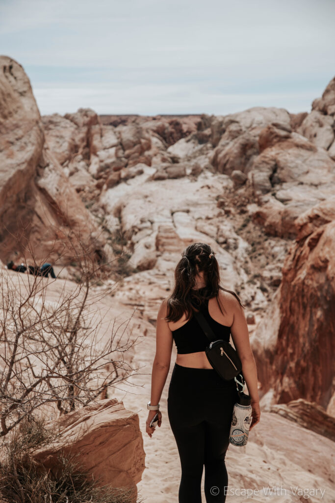
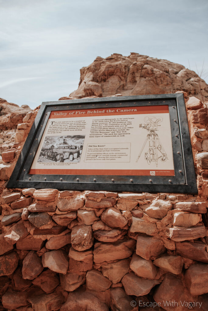
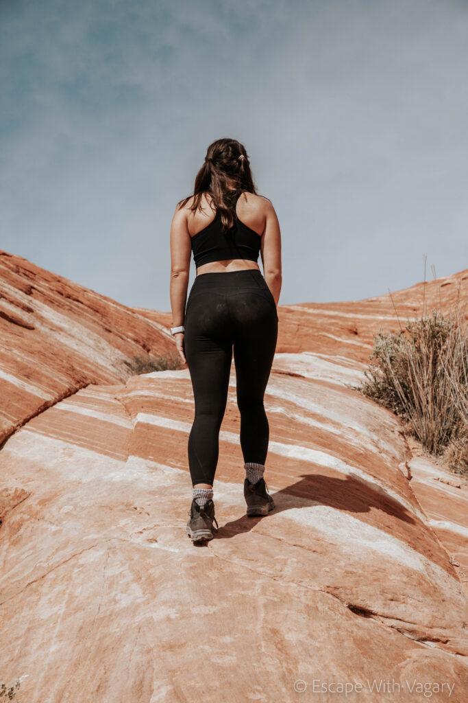
Next on our list was the famous Fire Wave. It’s an out and back 1.5 mile, moderately strenuous hike, that brings you to this vibrant red/orange and white wavy, striped looking rock. It was definitely a cool hike and great photo op (if you wanted to wait in line for it). Instead of doing the out and back trail we continued past the Fire Wave to the Seven Wonders trail. This was its own 1.8 mile loop.
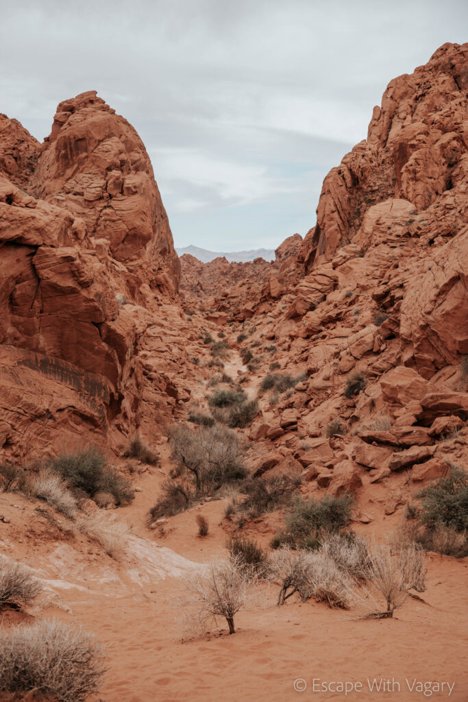
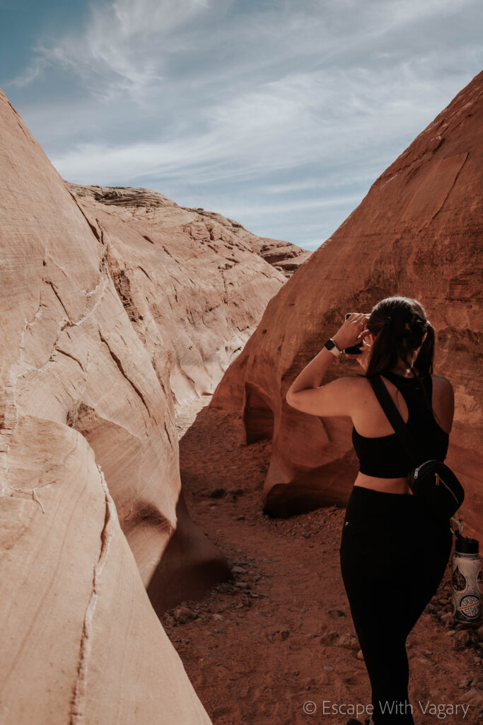
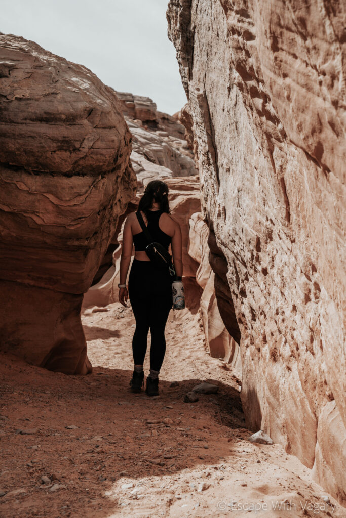
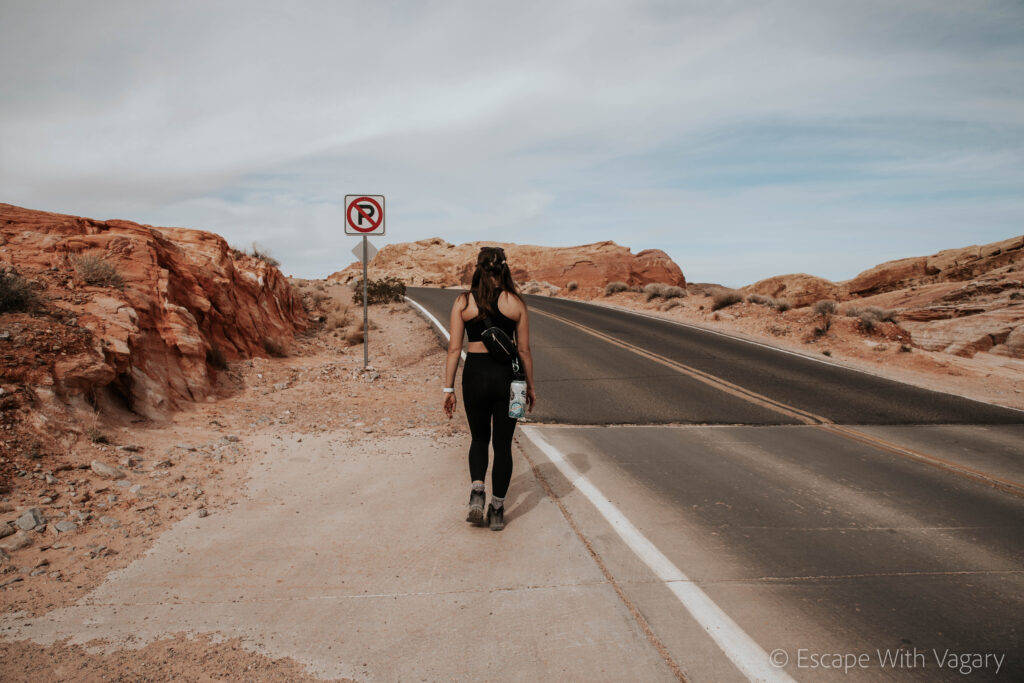
There were slot canyons, violet looking rocks, little crevices to make your way through, as the landscape drastically changed around every bend. This was my number two for favorite hikes at Valley of Fire that I’ve done. The only thing is, you really have to pay attention. You won’t come across many others on the trail, so if you miss one trail marking (which we did), you’ll likely find yourself lost. We ended up finding our way back to the road and took it to where we had originally parked.
Keep in mind that both the Fire Wave and Seven Wonders trail are closed from June 1 – September 30, due to extreme temperatures.
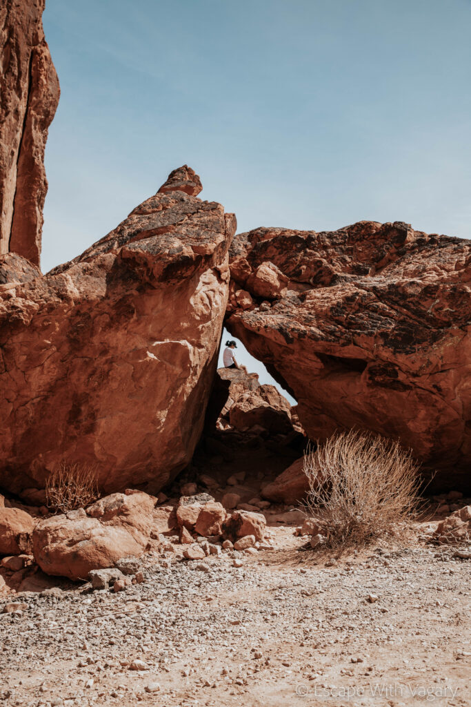
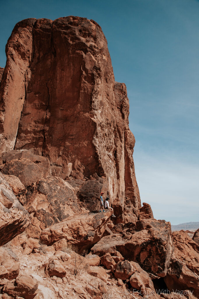

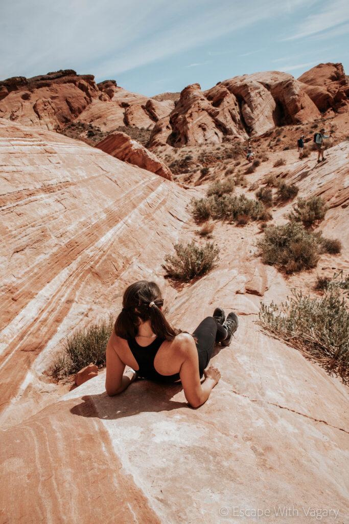
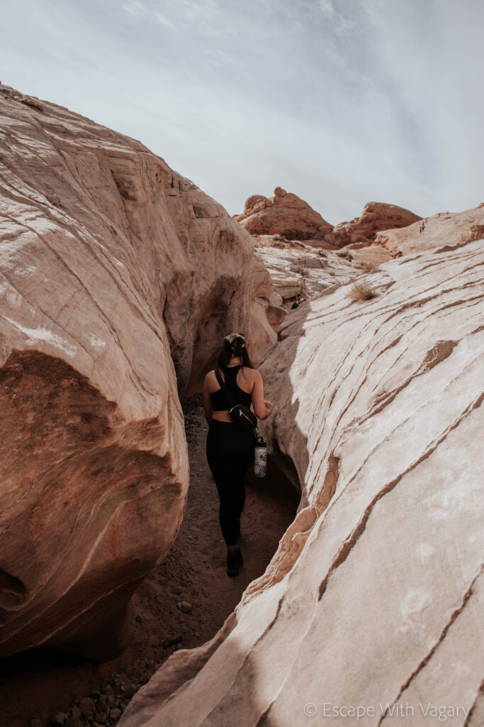
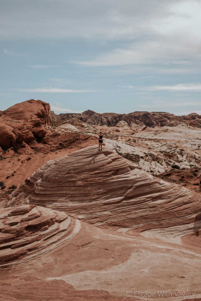
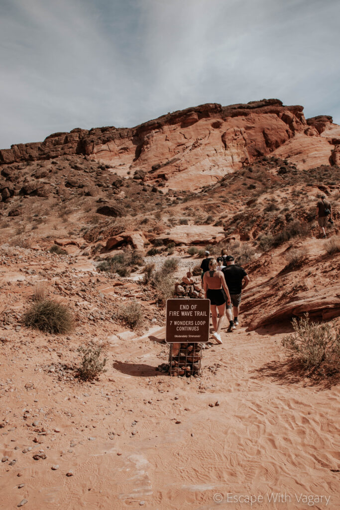
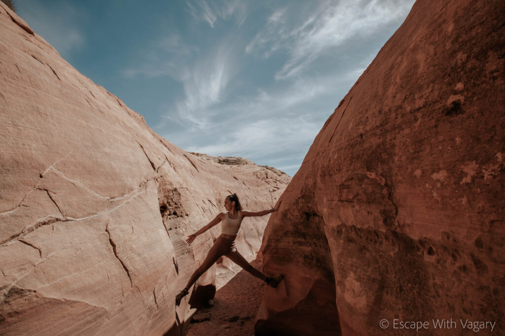
Our next stop was at the Fire Canyon Overlook/Silica Dome. We sat outside for a bit, eating some snacks and rehydrating while we took in the views before beginning the trek on our next hike, Rainbow Vista.
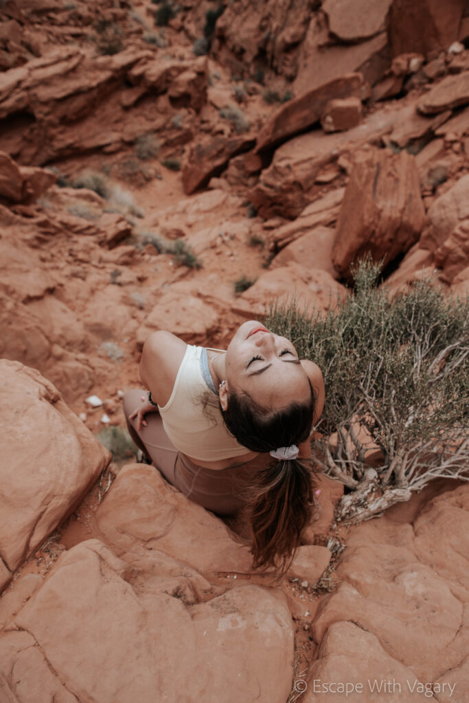
This was my absolute favorite trail! If you go to Valley of Fire and only have a bit of time, or you don’t really like hiking long distances, I would say do this trail. It is only 1 mile out and back so it’s quick and easy! The trail takes you to this breathtaking overlook over the reddist dirt I’ve ever seen. (Shake out your shoes before getting back in your car because this sand does pile up in your hiking boots without you even noticing).
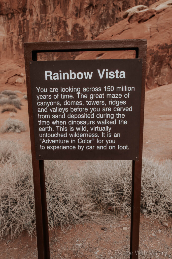
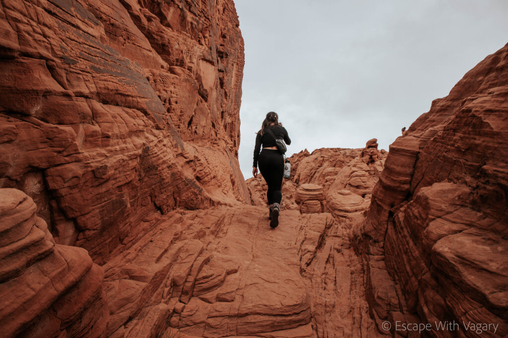
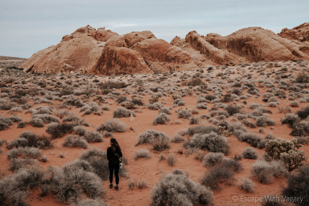
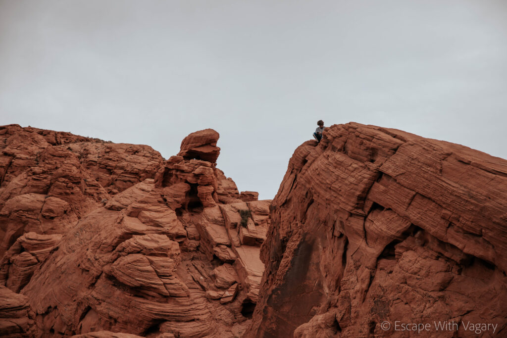

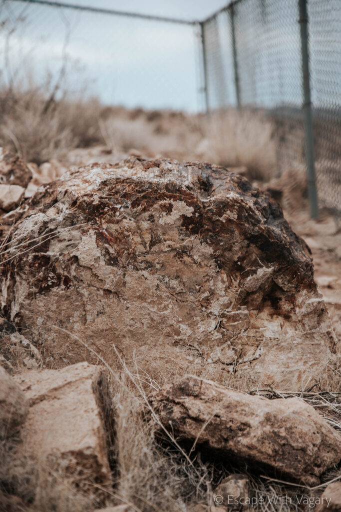
Petrified Logs 0.25 mile loop was next, and then we did the little 0.2 mile hike to Elephant Rock. There’s an Elephant Rock Loop that’s 1.25 miles long if you have the time! The sun was beginning to set so we only did the short walk up to see the rock formation. If you want to get a photo with the polaroid/instagram looking photo op, it’s right inside the East Entrance where you’d park to hike the Elephant Rock Loop.
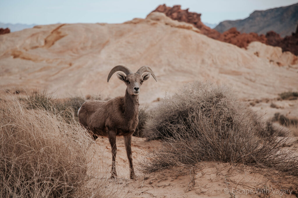
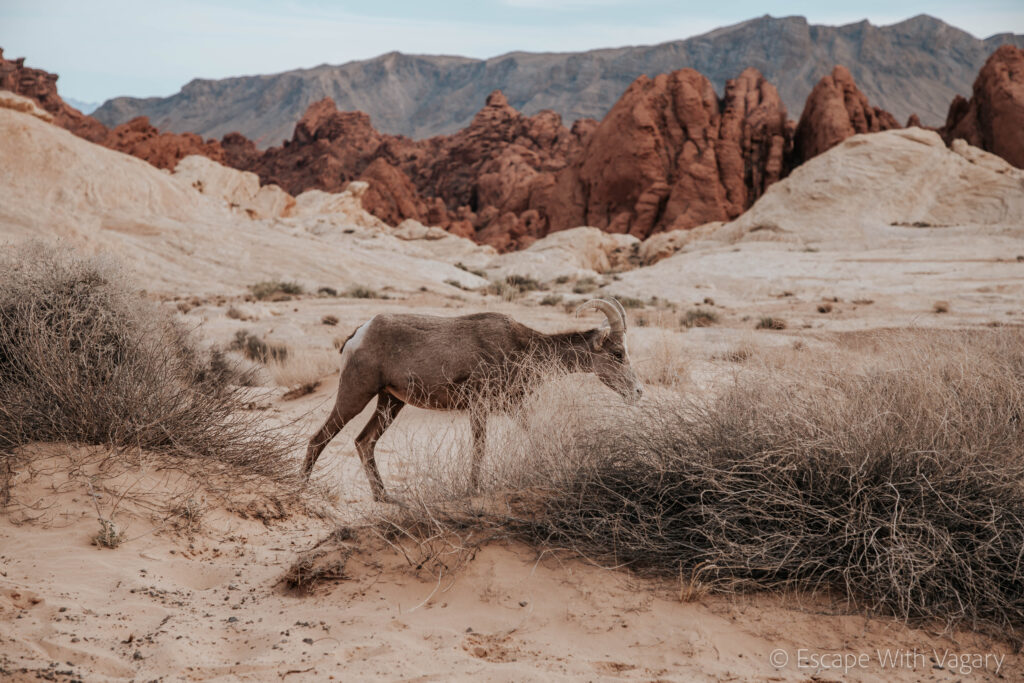
And, you can’t forget about the absolutely adorable Desert Bighorn Sheep that you share the park with. There are a lot of these that hang out on/by the road so be careful driving. We also saw a bunch by the Elephant Rock Loop. They don’t seem to mind humans at all, so you’ll be able to get some close up pics of these little guys.
If you haven’t been, you have to add Valley of Fire to your list of places to go! I promise it’s worth it!


